📄 Digital book in PDF · read it on your phone or print it
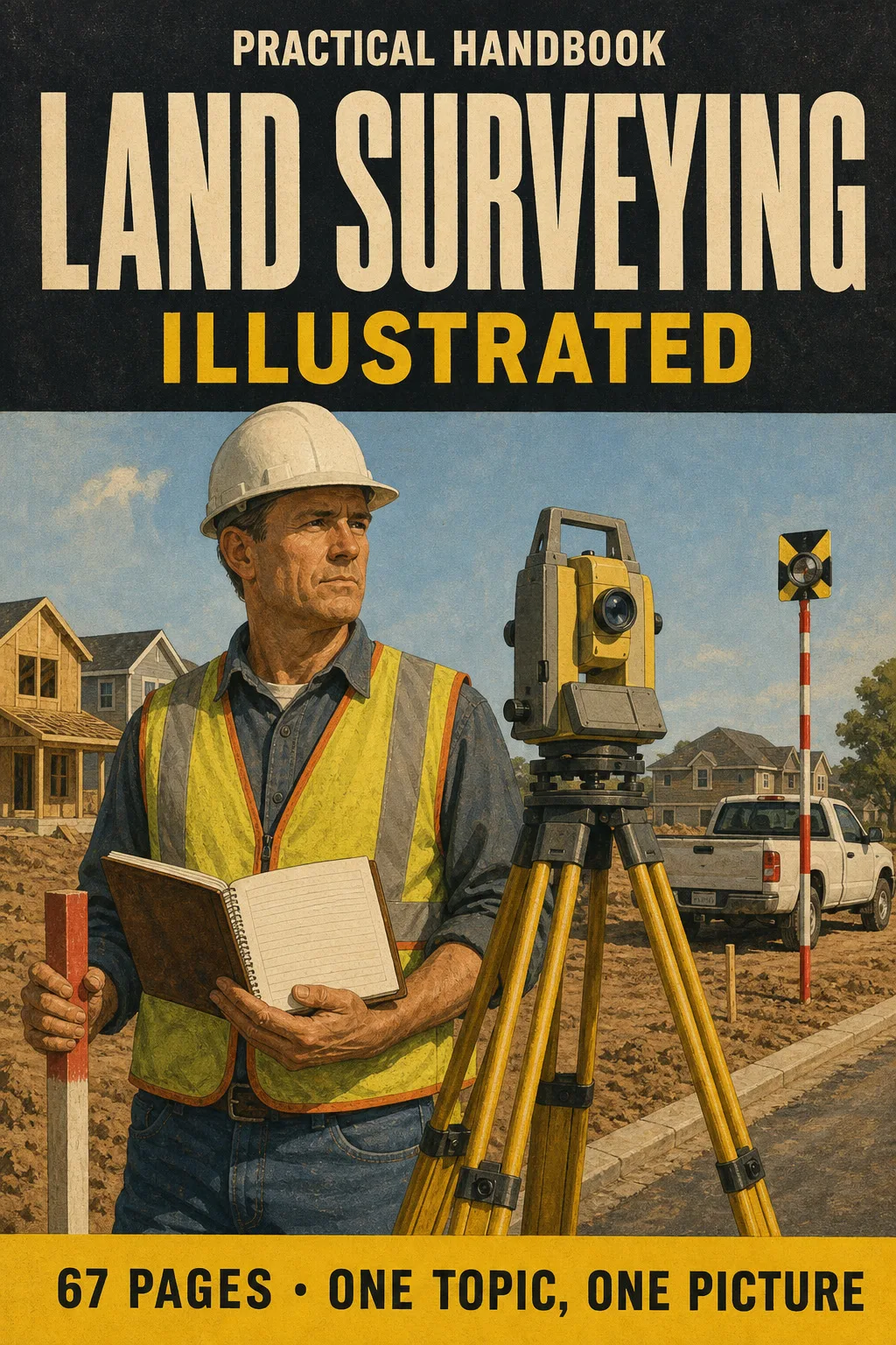
Leveling, traverses, area by DMD, horizontal and vertical curves, GNSS, state plane coordinates, the PLSS grid and boundary law. Every topic gets its own page: the drawing first, then what you need to remember. 67 illustrated pages.
🔒 Secure checkout · PDF by email · 30-day guarantee
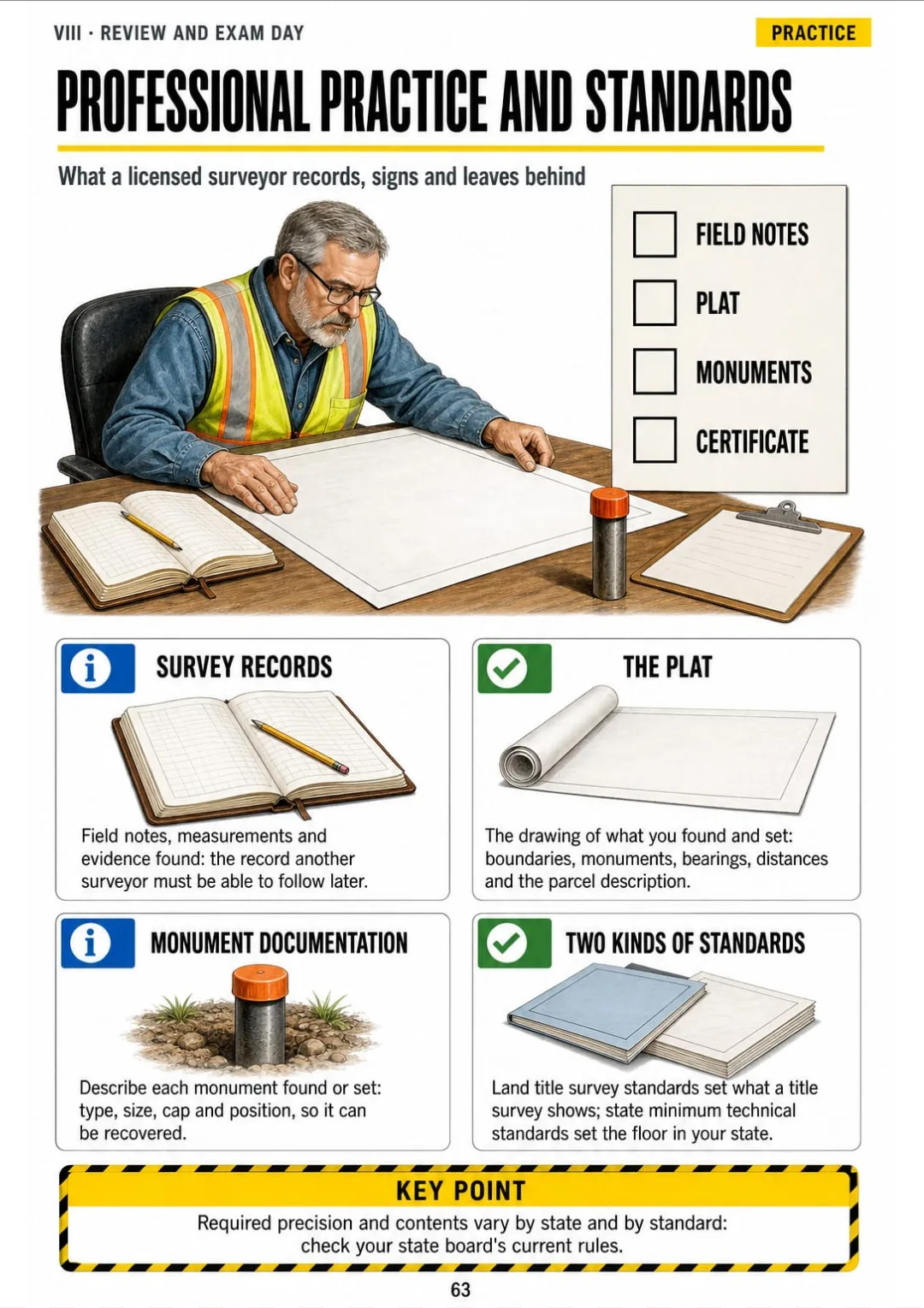
Every page has one big drawing and a box with the formulas, steps and numbers you need to know:


Swipe to see more →
These are real pages from the book. The table of contents is the full one: 8 parts and 63 topics.
It's ten at night and you're at the kitchen table with a practice problem: a level run with four setups, a benchmark elevation and a column of backsights and foresights. You run levels every week, but the data collector does the arithmetic. On paper, by the third turning point, your column no longer checks.
Your review manual covers it in a long paragraph: height of instrument, turning points, plus sights, minus sights. Plenty of words and formulas, but no picture of the level, the rod and the field book row side by side.

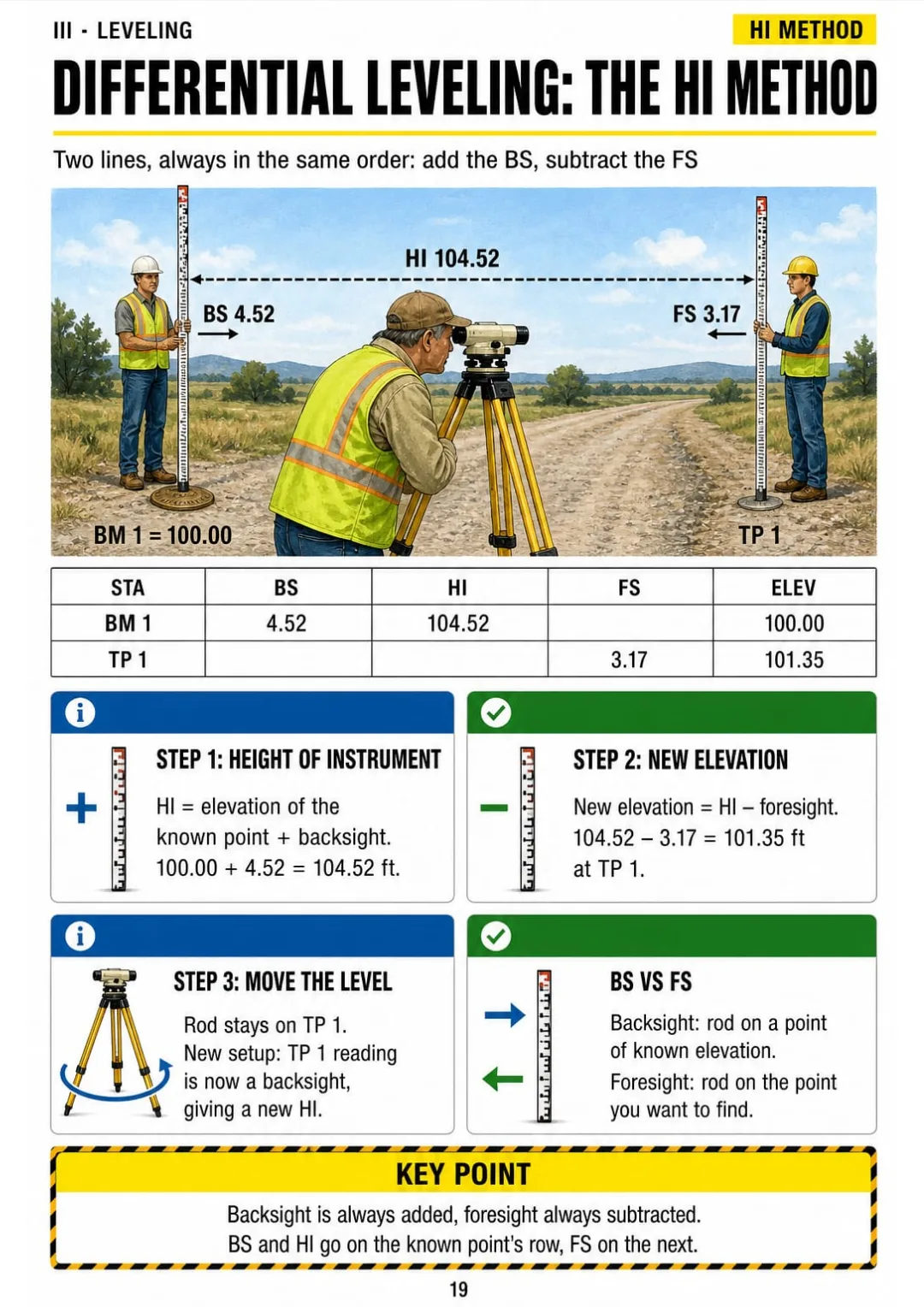
In Land Surveying Illustrated, differential leveling is one page: the level set up between two rods, with the field book rows drawn right beside it. HI = elevation + BS. New elevation = HI − FS. Every row, in the same order.
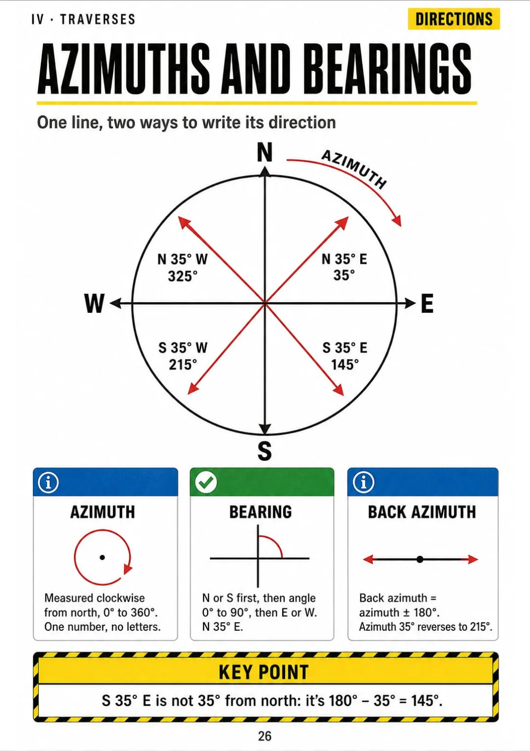
The same goes for azimuths and bearings, traverse closure, area by DMD, vertical curves and the PLSS grid: each one has its own page, drawn as numbered steps.
You look at the page, you work the problem, and you check your column without going back to the manual.
The exam and the math toolkit, measurements and errors, leveling, traverses and areas, curves and earthwork, geodesy and GNSS, boundary law and the PLSS, and a final review: 67 pages, all illustrated.
Think of it this way:
It's a practice problem: a five-sided traverse. You have to check the angle closure, balance the latitudes and departures, and only then compute the area. You need the right order of steps, and you need it now.
You open the page on the compass rule and see the traverse drawn, the latitudes and departures in columns, and the correction for each side worked out in numbered steps.

Same with differential leveling, horizontal curves, state plane coordinates, the PLSS grid and the order of calls: each one on its own page.
Land Surveying Illustrated is 8 parts and 63 topics, all drawn, and it ends with the most frequent calculation mistakes, a one-page formula map, a study plan for working evenings and an exam day checklist.
What you see drawn, you don't have to memorize.
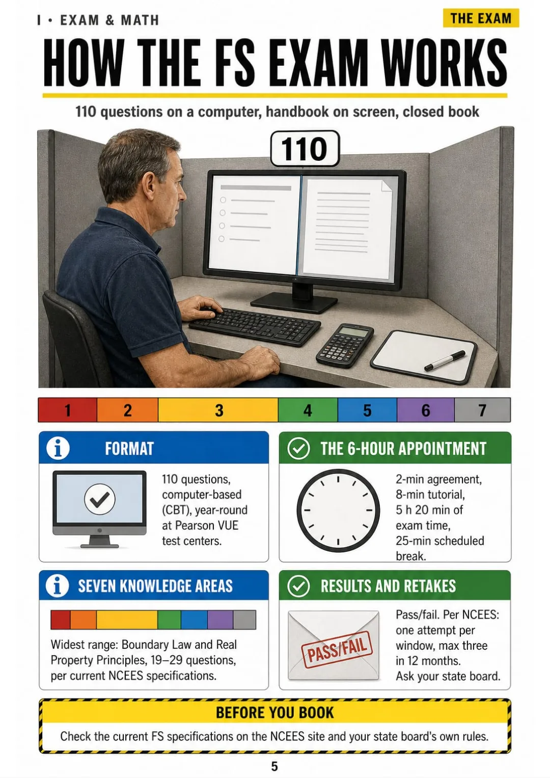
How the FS exam works, finding things fast in the reference handbook, angles and radians, right and oblique triangles, US units and stationing.
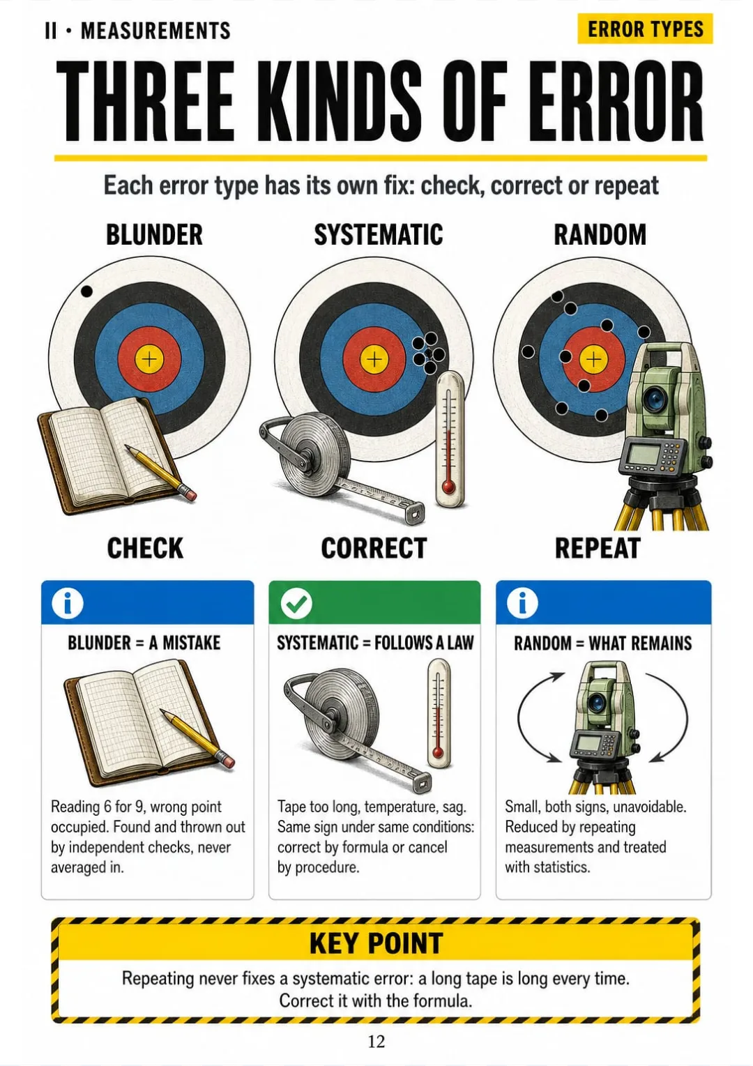
The three kinds of error, standard deviation, how errors add up, weighted mean, tape corrections, slope to horizontal and the total station.
The HI method, the field book arithmetic check, curvature and refraction, the two-peg test, trigonometric leveling, loop adjustment, profiles and cross sections.
Azimuths and bearings, angle closure, latitudes and departures, precision, the compass rule, inverses, intersections and area by coordinates, DMD and Simpson's rule.
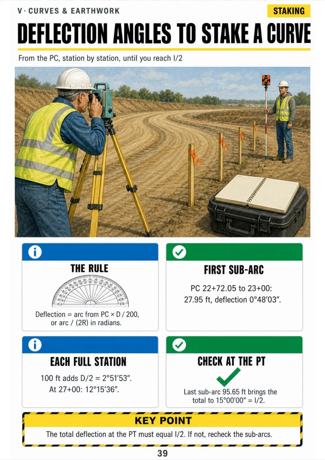
Every part of a horizontal curve, PC and PT stations, deflection angles, vertical curve elevations and high points, average end area, the mass diagram and slope stakes.
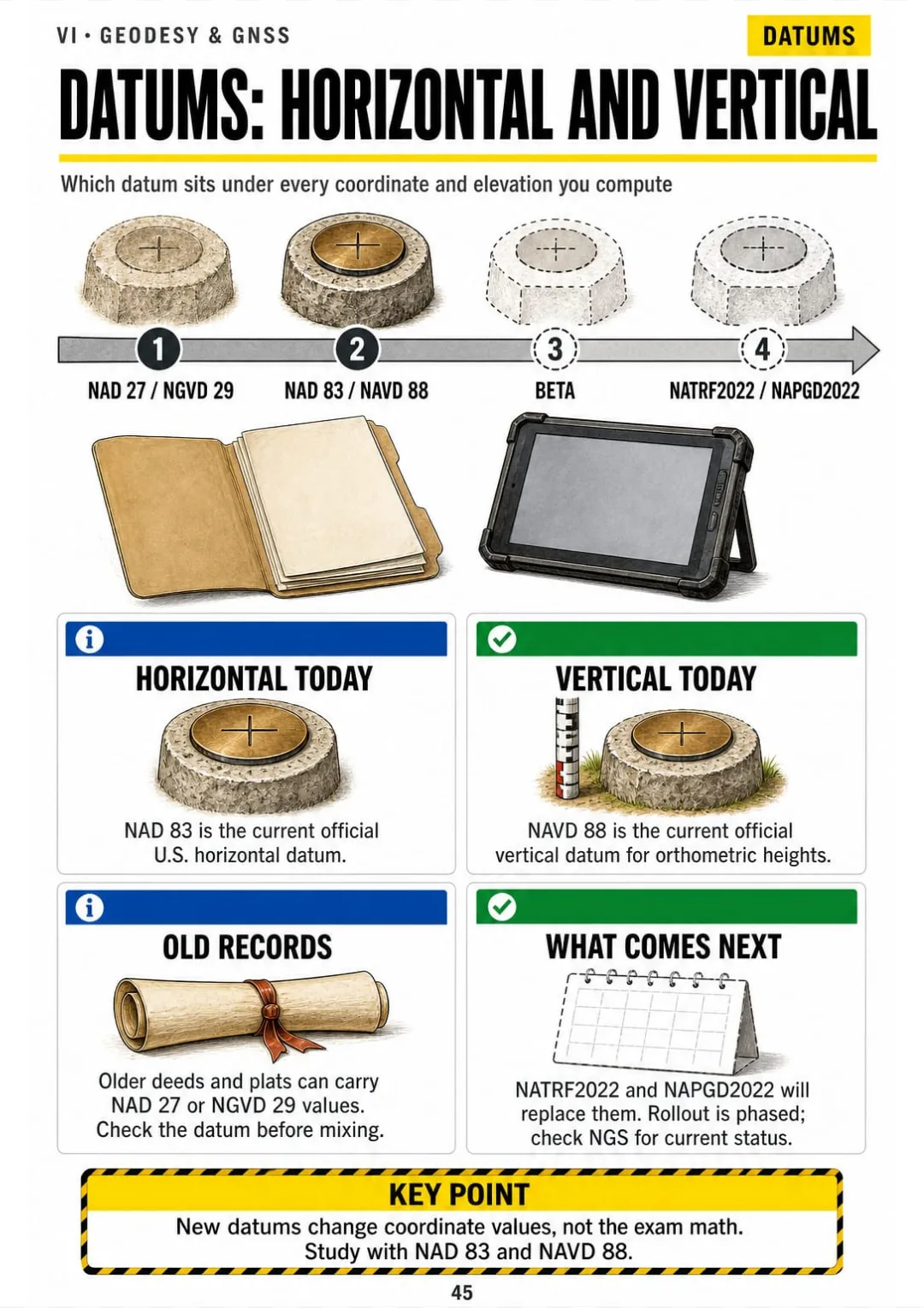
Horizontal and vertical datums, ellipsoid and geoid heights, GNSS methods and errors, state plane zones, the combined factor, convergence and photogrammetry.
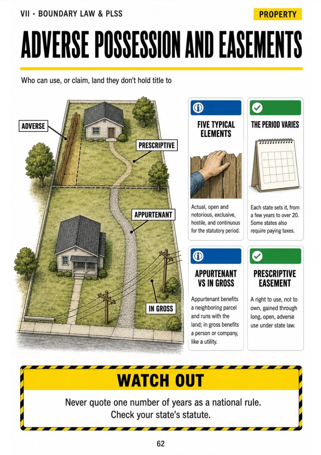
The PLSS grid, the 36 sections, aliquot parts, lost and obliterated corners, metes and bounds, order of calls, senior rights, water boundaries and easements.
Professional practice and standards, the most frequent calculation mistakes, a one-page formula map, a study plan for working evenings and the exam day checklist.
At the end of the book: A one-page formula map, the most frequent calculation mistakes, a study plan for working evenings and an exam day checklist.

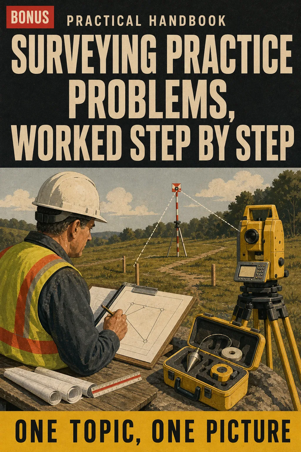
Exam-style questions on every topic, each solved with the same steps as the book, so you practice the method before test day instead of guessing.

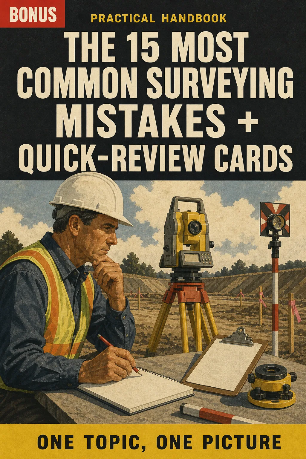
The errors that trip up surveyors most often, drawn before and after, plus one-page review cards to go over the night before the exam.
📄 This is a digital PDF book sent to your email: nothing is printed or shipped.
PDF by email: We email you Land Surveying Illustrated as a PDF, together with the two free books. It's a single payment: no installments, no extra charges.
Each topic on one drawn page, with a worked example in numbered steps, so the math you haven't done by hand in years comes back in order.
Eight parts you can go through in the evenings, plus the formula map and the exam day checklist for the last week.
The field work you know, the total station, base and rover, linked to the exam math it turns into. Print it and keep it in the truck.
📄 This is a digital PDF book sent to your email: nothing is printed or shipped.
Try Land Surveying Illustrated for 30 days, bonus books included.
We refund everything if the file won't open, if the book isn't what you see here, if you were charged twice or if the email doesn't arrive. Just email us.
You pay once. No subscriptions.
Yes. It's built for working technicians: it starts from the field work you already know and shows the exam calculation step by step. It doesn't assume you're a beginner. It doesn't replace your reference handbook or your problem book either: it's the one drawn page per topic you look at before working the problems, so the steps come back in the same order.
From the Fundamentals of Surveying exam specifications currently in effect, NGS (NOAA) datum and State Plane documentation and the BLM Manual of Surveying Instructions for the PLSS. The topics follow the current FS specifications, not an older outline. Drawings and worked examples are our own, in US units.
No. It's an independent illustrated study book. It is not affiliated with or endorsed by NCEES, NOAA/NGS, the BLM or any state board, and it doesn't reproduce the reference handbook.
No. It's a study companion that puts each topic on one page. It doesn't come with a certificate or count as education hours, and it doesn't replace a course, your field experience or what your state board requires for licensure.
No. They're written for this book in the style of exam questions, and each one is solved with the same steps the book uses.
The book and the 2 bonus books arrive as a PDF by email.
No. It's a one-time payment.
Yes. It's a printable PDF: print the whole book or just the pages you want to keep in the truck.
You have 30 days. We refund everything if the file won't open, if the book isn't what you see on this page, if you were charged twice or if the email doesn't arrive: just email us.
No more rereading with nothing to show for it.
A level run, a curve or a traverse: you see it drawn and you're done.
You walk into the exam knowing where everything is.
Drawings make studying faster.
The book is right below.
One-time payment: US$ 27 · Guarantee: 30 days · PDF by email
YES, I WANT LAND SURVEYING ILLUSTRATED FOR US$ 27📄 This is a digital PDF book sent to your email: nothing is printed or shipped.